
 |
Upper Mississippi River Restoration ProgramLong Term Resource Monitoring |
|
| |
||
Reach 3 - Open River - Lock and Dam 26 to Grand Tower - Upper Mississippi River
| Aerial Photos | 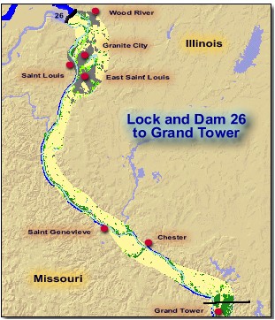 |
|
| GIS Data | ||
|
||

Page Last Modified: May 7, 2018
The .gov means it’s official.
Federal government websites often end in .gov or .mil. Before sharing sensitive
information, make sure you’re on a federal government site.
The site is secure.
The https:// ensures that you are connecting to the official website
and that any information you provide is encrypted and transmitted securely.
|
Upper Mississippi River Restoration ProgramLong Term Resource Monitoring |
|
| |
||
| Aerial Photos | |
|
| GIS Data | ||
|
||