 La Crosse
field station
La Crosse
field station
Environmental Monitoring and Assesment Program for Great River Ecology at Wisconsin DNR’s Mississippi River Monitoring Field Station—La Crosse
Since 2004, the Wisconsin Department of Natural Resources has been participating in studies funded by U.S. Environmental Protection Agency through Environmental Monitoring and Assessment Program - Great River Ecology (EMAP-GRE). The purpose of EMAP-GRE is to develop and demonstrate standard methods that will generate uniformly collected data. This will result in more consistent Clean Water Act Assessments across state lines on the great rivers of the North American mid-continent—the Mississippi, the Missouri, and the Ohio. More information about this project can be found at: http://www.epa.gov/emap/greatriver/index.html. Information at this website includes a Fact Sheet; various program overviews; Information from workshops for development of indicators and reference condition for Great Rivers; newsletters; and a manual of the standard EMAP-GRE sampling procedures.
13 states and multiple agencies collected data in 2004-2005, as well as specialized reference data in 2006. We wrote a successful grant for a follow-up multi-year study that develops new aquatic vegetation bioindicators and explores applicability of several protocols currently used to generate fish health assessments on great rivers, particularly on the Minnesota-Wisconsin border waters of the Mississippi River. This new study extends from 2006—2010, with field work taking place in 2006, 2007, and 2008, followed by analysis and writing. The Wisconsin DNR is lead agency on this study, with help from Minnesota DNR Field and Minnesota Pollution Control Agency. (Contact Terry Dukerschein, Wisconsin DNR Field Station, with questions)
EMAP crews have sampled a large suite of potential aquatic health indicators from which the best will be selected to use in interstate assessments following thorough analysis and evaluation by USEPA and the other agency partners. Photos on this webpage of Wisconsin Field Station crew members sampling illustrate some but not all of the indicators and techniques. |
EMAP-GRE sites can be searched by boating down the main channel. |
|
| |
|
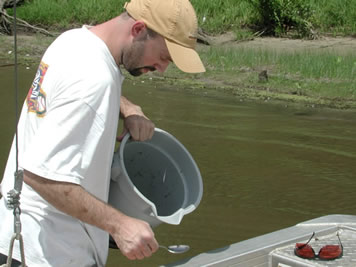
Sediment sampling for EMAP-GRE. |
|
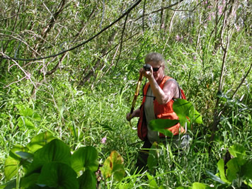
Terrestrial vegetation sampling. |
|
| |
|
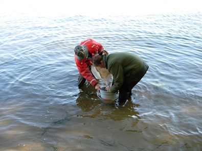
Inverterbrate sampling. |
|
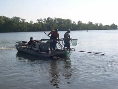
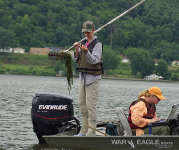
Electrofishing for EMAP-GRE. |
|
| |
|
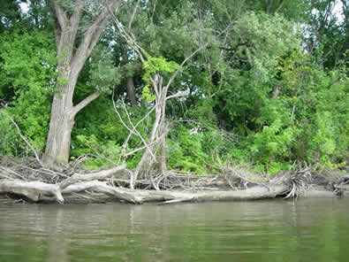
We estimate the amount of woody debris, which provides habitat for fish and the aquatic insects they eat. |
|
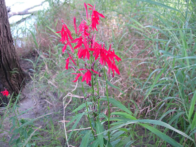
Terrestrial sampling - Cardinal Flower. |
|
| |
|
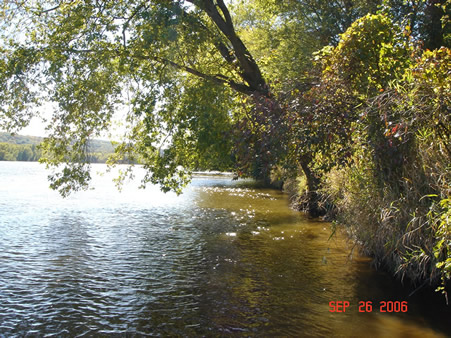
A typical main channel shoreline EMAP-GRE sampling site. Sites are picked randomly. |
|
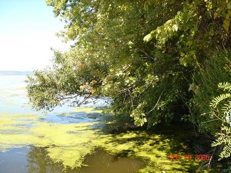
Main channel shoreline with floating mat of algae and duckweed. |
|
Page Last Modified:
April 3, 2018


