
 |
Upper Mississippi River Restoration ProgramLong Term Resource Monitoring |
|
| |
||
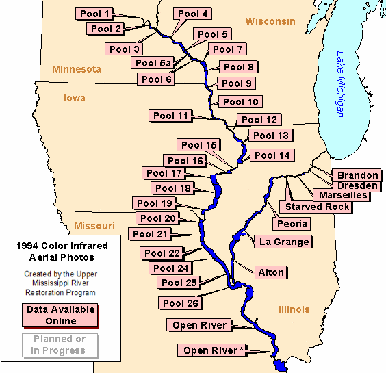
1994 Color Infrared Photos |
Upper Mississippi River System
Data are available for the following areas:
|
|
||||||||||
In 1994 the Long Term Resource Monitoring Program collected 1:15,000-scale color infrared aerial photographs for the Upper Mississippi and Illinois River floodplains. Adjacent contact prints created from the 9"x9" photo transparencies were scanned at 72dpi. The photos are served as non-georeferenced .jpg images.

Page Last Modified: April 3, 2018