
Richland Center, Wisconsin |
|
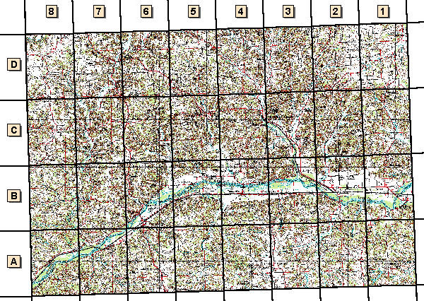
||||||||||
![]() Digital Raster Graphics (DRG)
Digital Raster Graphics (DRG)
Digital raster graphic (DRG) files are scanned and rectified images of USGS quadrangles.
These data are being compressed and redistributed through this web site as a service for program partners of the Upper Midwest Environmental Sciences Center. If you require data for additional areas the help button accesses information on which files are available through this Web site. The USGS National Mapping Center in Rolla, Missouri also keeps a list of sites that distribute DRG files through the Internet. Copies of the data can also ordered from the official USGS distribution site, the EROS Data Center (for a duplication and distribution fee).
"Small-scale" Data
- C43090a1 - La Crosse 1:250,000-scale quadrangle (7.3 MB)
- F43090a1 - Richland Center 1:100,000-scale quadrangle (8.5 MB)
1:24,000-scale Quadrangles
- O43090a1 - Pleasant Ridge (3.2 MB)
- O43090a2 - Clyde (2.9 MB)
- O43090a3 - Highland East (2.7 MB)
- O43090a4 - Highland West (2.8 MB)
- O43090a5 - Castle Rock (3.2 MB)
- O43090a6 - Long Hollow (3.1 MB)
- O43090a7 - Wauzeka East (3.3 MB)
- O43090a8 - Wauzeka West (3.4 MB)
- O43090b1 - Spring Green (2.5 MB)
- O43090b2 - Lone Rock (2.4 MB)
- O43090b3 - Avoca (2.9 MB)
- O43090b4 - Muscoda (2.8 MB)
- O43090b5 - Blue River (3 MB)
- O43090b6 - Boscobel (3.2 MB)
- O43090b7 - Steuben (3.2 MB)
- O43090b8 - Crowley Ridge (3.4 MB)
- O43090c1 - Plain (2.8 MB)
- O43090c2 - Bear Valley (3.1 MB)
- O43090c3 - Sextonville (2.8 MB)
- O43090c4 - Richland Center (3.3 MB)
- O43090c5 - Boaz (3.3 MB)
- O43090c6 - Mt. Zion (3.4 MB)
- O43090c7 - Gays Mills (3.5 MB)
- O43090c8 - Mt. Sterling (3.1 MB)
- O43090d1 - Loganville (2.2 MB)
- O43090d2 - Lime Ridge (2.6 MB)
- O43090d3 - Rockbridge (3.1 MB)
- O43090d4 - Gillingham (3 MB)
- O43090d5 - Sabin (3 MB)
- O43090d6 - Sugar Grove (3.3 MB)
- O43090d7 - Readstown (3.2 MB)
- O43090d8 - Rising Sun (2.8 MB)
![]() Hydrology (UMESC)
Hydrology (UMESC)
These data were created from USGS - National Mapping Division hydrology data. The data were modified to display tributaries of the Upper Mississippi River System (UMRS). If you require these data in their original format, contact the EROS Data Center.
![]() Scanned
USGS Topographic Maps (UMESC)
Scanned
USGS Topographic Maps (UMESC)
![]() Transportation (USGS-National Mapping
Division)
Transportation (USGS-National Mapping
Division)
USGS's 1:100,000-scale transportation data for the Upper Mississippi River floodplain are being redistributed through this web site as a service for program partners of the Upper Midwest Environmental Sciences Center. If you require these data as UNIX format files, data for additional areas, or want to make sure you have the most recent version of the data, contact the EROS Data Center. EROS makes these data available to download via the Internet.
Page Last Modified: April 3, 2018