
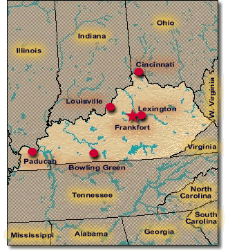
State of Kentucky
The Upper Midwest Environmental Sciences Center has collected aerial photography in Kentucky. |
 |
 |
|||
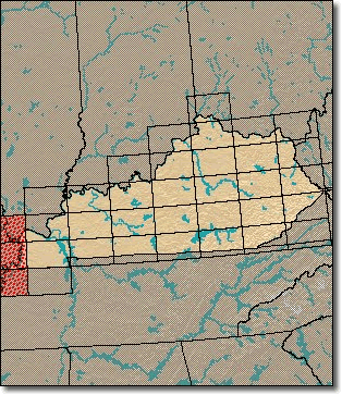
| Aerial Photos are sorted by 100K USGS quadrangle tiles. The 100K quadrangles shaded in red are those that contain links to aerial photos. |
Page Last Modified: April 3, 2018