
The Upper Mississippi River Restoration ProgramLong Term Resource MonitoringLand Cover/Use
Data |
 |
|
1989 Landsat Thematic Mapper LCU - created by - |
|
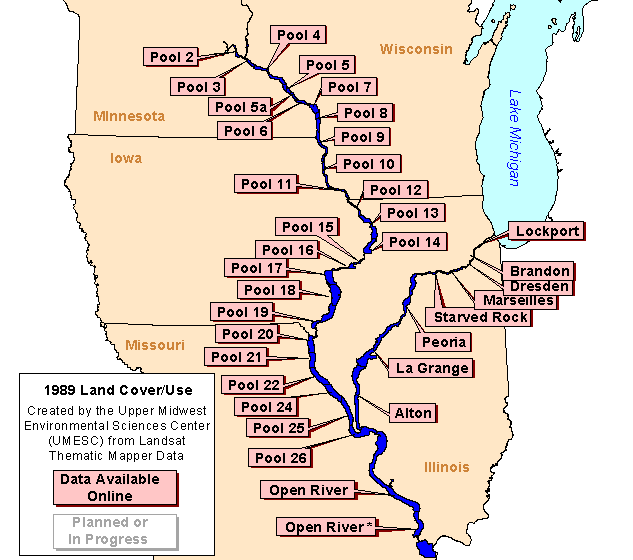
Data are available for the following areas:
|
These land cover/use data sets were created by the Upper Midwest Environmental Sciences Center (UMESC) using data collected by a Landsat thematic mapper satellite. A report on how these data were generated is available upon request, and the report's abstract is available online. The report's abstract is one of many available to view through the UMESC Web site. The Center's report section makes numerous documents available online.
The following image contains links to thumbnail
images of the data sets. The thumbnails, higher resolution images, and the data
sets themselves are available through the Upper Mississippi River GIS data pages.
Page Last Modified: April 17, 2018