
Summary of Fiscal Year 1999 Findings for the Long Term Resource Monitoring Program of the Upper Mississippi River System
James Wiener,1 Scott Battaglia, Randy Burkhardt,
Barry Johnson, Carl Korschgen,2
Jennifer Sauer, David Soballe, Joseph Wlosinski, and Yao Yin
U.S. Geological Survey, Upper Midwest Environmental Sciences
Center,
2630 Fanta Reed Road, La Crosse, Wisconsin 54603
March 2002
Contents |
|
|
|
Monitoring Activities and Highlights |
| Table | |
| 1. | Watershed and discharge statistics for four gages in the Upper Mississippi River System |
| Figures | |
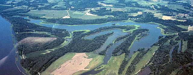
| 1. | Field stations operated by the Long Term Resource Monitoring Program on the Upper Mississippi River System |
| 2. | Average daily discharge of the Mississippi River at St. Louis, Missouri, for the 67-year period of record (blue line) and for the first 9 months of 1999 (red line) |
| 3. | Transportation of total nitrogen load (Nox-N) in Navigation Pool 13 of the Upper Mississippi River and discharge at Dam 13, 1993–1997 |
| 4. | Concentrations (mg/L) of nitrate + nitrite above (red dots) and below (black line) La Grange Pool of the Illinois River, 1993–1999 |
| 5. | Winter dissolved oxygen concentration (solid black line, left axis) and snow cover (dashed grey line, right axis) in Pools 4, 8, and 13 combined for winter stratified random sampling episodes, 1994–1999 |
| 6. | Percentage frequency of occurrence and number of species of submersed aquatic vegetation in areas <2.5 m deep in study pools of the Long Term Resource Monitoring Program, 1998–1999 |
| 7. | Estimated mean densities of mayflies in each study area of the Long Term Resource Monitoring Program, weighted by area of strata |
| 8. | Estimated mean densities of fingernail clams (Musculium transversum) in each study area of the Long Term Resource Monitoring Program, weighted by area of strata |
| 9. | Estimated mean densities of zebra mussels (Dreissena polymorpha) in each study area of the Long Term Resource Monitoring Program, weighted by area of strata |
| 10. | Mean catch per 15 min of electrofishing (CPUE) ± 1 standard error for bluegills (Lepomis macrochirus) >150 mm total length sampled from backwater contiguous shorelines in study pools of the Long Term Resource Monitoring Program, 1993–1999 |
1Present address: University of Wisconsin, 4032 Cowley Hall,
La Crosse, Wisconsin 54601
2Present address: U.S. Geological Survey, Columbia Environmental
Research Center,
4200 New Haven Road, Columbia, Missouri 65201
Page Last Modified: April 17, 2018