An official website of the United States government
Here’s how you know
The .gov means it’s official. Federal government websites often end in .gov or .mil. Before sharing sensitive
information, make sure you’re on a federal government site.
The site is secure. The https:// ensures that you are connecting to the official website
and that any information you provide is encrypted and transmitted securely.
The Census Stop Tool is an ArcMap 9.x extension that creates random points along a line layer while maintaining a minimum distance between points. This tool is designed to facilitate road based surveys by reducing the potential for double sampling.
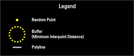
To operate the tool a user enters a minimum interpoint distance that is equal to the diameter of the observation circle of a census stop. The tool then places random points along the lines of a selected GIS layer. The Census Stop Tool continues to run until it has completely saturated the lines with random points (Figure 1).
Figure 1 . A Flash animation of the Census Stop Tool dialog. Use your mouse to explore the Census Stop Tool interface and learn more about how it functions.
The tool uses one of two point placement methods, random or random/sequential. The default method is random. With this method the tool randomly selects a line and then randomly places a point long the line. Once a point is placed all line lengths within the minimum interpoint distance are excluded from further consideration for point placement (Figure 2).
Figure 2 . Flash animation of random method.
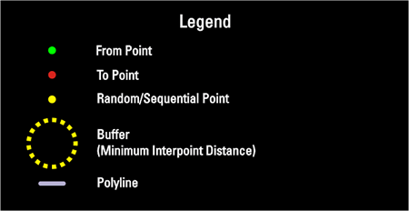
With the random/sequential method the tool randomly splits each line and then sets the split point as the from point for each of the polylines created by the split operation. The Census Stop Tool then proceeds to randomly select a split line and place a point at the selected line’s from point . It then removes all line lengths within the minimum interpoint distance from further consideration for point placement. Random/Sequential results in very high point density but at the loss of some randomness.This method creates random chains of points along the lines (Figure 3).
Figure 3 . A Flash animation of random/sequential method. Note: from points and to points have been spread apart at intersections in an effort to improve visualization.
Save the file: CensusStopToolAddin.zip to your local hard drive
Extract contents
Double click CensusStopToolAddin.esriAddIn file
Open ArcMap 10
Click on the Customize menu and the Customize Mode… item
On the Customize dialog click the Commands tab
Scroll down and click on Fox Tools in the Categories list
Drag the Census Stop Tool (CST) button to a toolbar on the ArcMap 10 interface
Impact of UMESC Science
Proper sampling methods are fundamental to scientific investigation. Due to accessibility, sampling effort is often constrained to paths or routes (e.g. roads, trails). The Census Stop tool provides various methods of randomly distributing sample points along a system of routes.