
Great Lakes Islands Geographic Information Systems/Decision Support Systems
The Great Lakes contain about 30,000 islands, ranging in size from small boulders to more than a hundred thousand acres. These islands form the world's largest freshwater island system and are a unique natural resource. A large number of rare natural features are located on the islands of the Great Lakes, including several species of plants endemic solely to Great Lakes islands, and many U.S. Fish and Wildlife Service (USFWS) trust resources such as rare and endangered species, neotropical migrants, interjurisdictional fishes, colonial water birds, and waterfowl. The extensive island shoreline epitomizes the Great Lakes coastal ecology. The issue of Great Lakes island protection is timely in that pressures from invasive species and humans continue to increase.
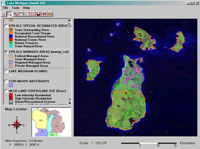
The Great Lakes Basin Ecosystem Team (GLBET) Islands Committee is collaborating with the U.S. Geological Survey Upper Midwest Environmental Sciences Center (UMESC) to gather spatial and nonspatial data on the Great Lakes islands. Staff members from UMESC have participated in several meetings and workshops with GLBET members. The UMESC will create a Decision Support System (DSS) to guide future management and protection of these islands and surrounding areas. The DSS will facilitate decision-making for land acquisition, environmental review, management planning, and provide a valuable tool for communication and outreach. The DSS will be made available from the desktop of all USFWS field stations that manage resources within the Great Lakes Basin. Managers will then be able to review the Great Lakes islands within the DSS for natural resource values and threats and for their potential for acquisition by the National Wildlife Refuge System. The DSS presently in use on the Upper Mississippi River will be used as a model for this project.

The GLBET will receive a stand-alone desktop PC-based DSS application, designed exclusively to meet their needs. The DSS will include tools that allow the user to calculate distances between islands and other features, identify features and display their attributes, view metadata related to map layers, and export the map display as a digital image, among other features.
This project will be completed in September 2003.
Principal Investigator: Jason Rohweder
Page Last Modified: April 17, 2018