
Sediment-Contaminant Database for the Upper Mississippi River System and Selected Tributaries (version 2)
![]()
![]()
 |
Last updated on January 5, 2016
|
Summary
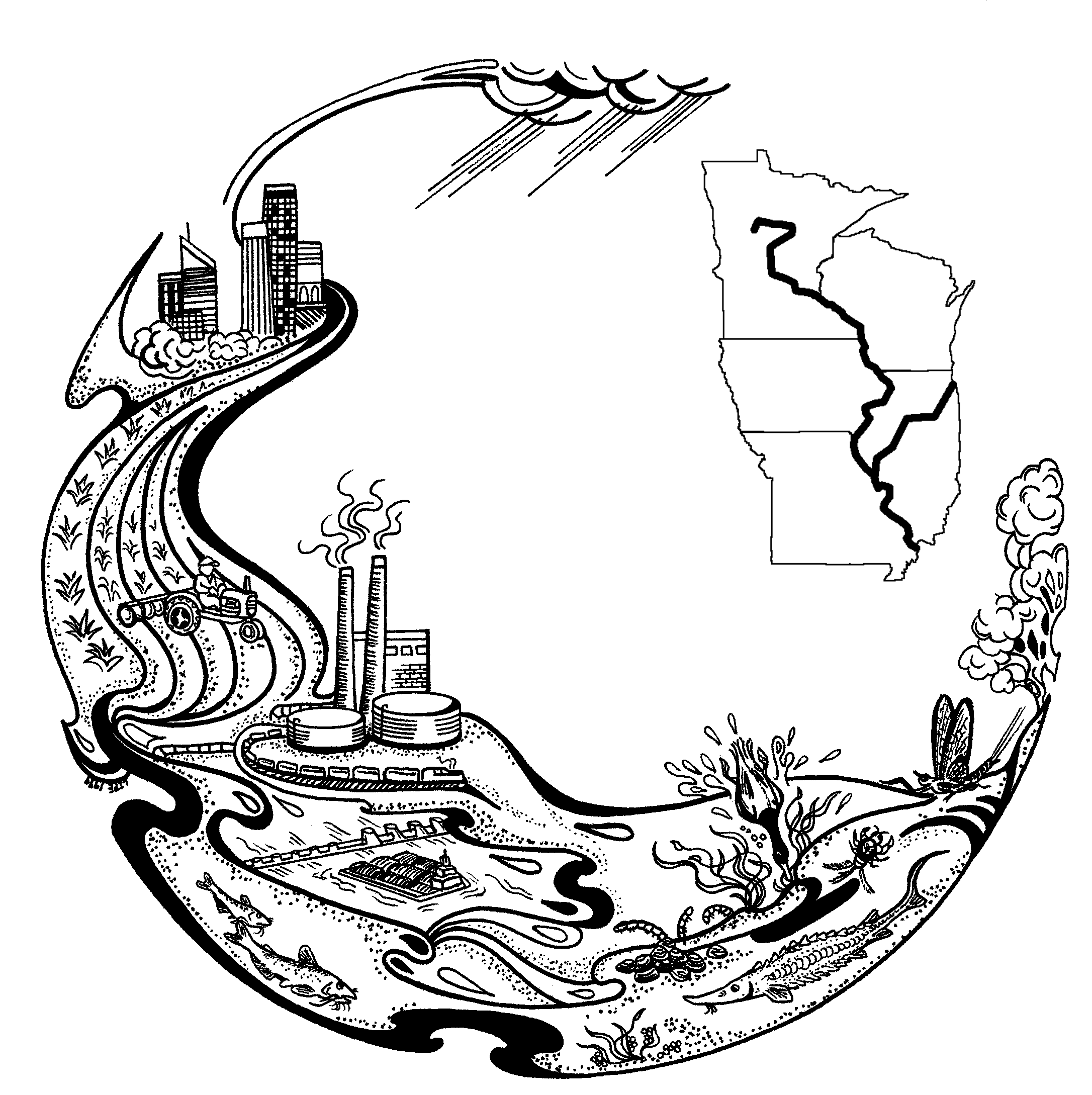
The Sediment-Contaminant Database for the Upper Mississippi River System (version 2) contains reliable sediment-contaminant data of known quality in a readily accessible format. The database was compiled to facilitate the assessment of riverine contamination, to increase the availability of historic sediment-contaminant data, to facilitate responses to contaminant issues in the Upper Mississippi River System, and to focus management and scientific efforts pertaining to contaminated-sediment.
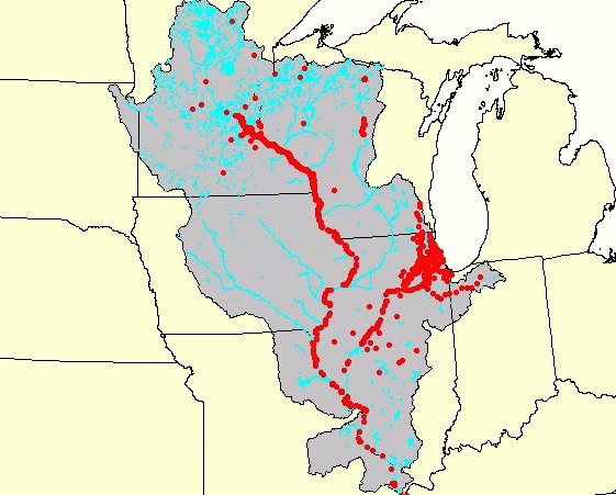
Forty four (44) data sets on sediment-associated contaminants in the Upper Mississippi River, the Illinois River, and selected tributaries have been entered into version 2 of the database, which contains information from a total of 3950 analyzed sediment samples collected from 1974 through 2000. This total includes 2697 samples from the Upper Mississippi River, 440 from the Illinois River, and 813 from selected tributary streams. Groups of contaminants represented in the database include metals, metalloids, nutrients, polynuclear aromatic hydrocarbons, insecticides, herbicides, fungicides, industrial compounds, sterols, petroleum-related compounds, and polychlorinated biphenyls.
Considerable care was taken to ensure the reliability of contaminant data entered into the database. The relative completeness of quality-assurance documentation for each discreet data set entered was characterized by a quality-assurance index. To facilitate the interpretation of the contaminant data, the database provides information on sampling locations, methods of sediment collection, physical characteristics of the analyzed sediments, and other ancillary variables for each sediment sample represented.
The database resides on an Internet server located at the U.S. Geological Survey Upper Midwest Environmental Sciences Center (La Crosse, Wisconsin) and is available to the general public and to all federal, state, and private entities. The database can be downloaded from the Upper Midwest Environmental Sciences Center website in its entirety or by individual data set in three readily accessible formats: ASCII text, Excel� spreadsheet, and Lotus� 123 spreadsheet.
Acknowledgments
The development of the sediment-contaminant database was facilitated by the Water Quality Technical Section of the Upper Mississippi River Conservation Committee. The following persons contributed to the conceptual development of the database: Daniel Helwig, John Sullivan, Scot Johnson, Matthew Short, Walter (Pete) Redmon, Patricia King, Jody Millar, T.J. Miller, John Olson, Stanley Smith, and Dennis Anderson.
The following institutions provided data for inclusion in the database (with contact persons denoted in parentheses): the U.S. Fish and Wildlife Service (Michael Coffey, Jody Millar, Mark Steingraeber), U.S. Geological Survey (Terry Bills, George Groschen, Sharon Kroening, John Moody, Paul Terrio, James Wiener), Illinois Environmental Protection Agency (Matthew Short), Iowa Department of Natural Resources (John Olson), Iowa State University (Gary Atchison, Gregory Cope, Sheryl Beauvais), Twin Cities (Minnesota) Metropolitan Council Environmental Services (Kent Johnson, Terrie O'dea), Minnesota Pollution Control Agency (Patricia King), Saint Mary's University (Kevin Buhl), U.S. Army Corps of Engineers (Dennis Anderson, Clinton Beckert, David Bierl), University of Wisconsin-La Crosse (Bradley Frazier, Ronald Rada), and the Wisconsin Department of Natural Resources (John Sullivan), and Illinois State Water Survey (Misganaw Demissie).
Technical assistance with data entry was provided by Kellie Kroc, Wendi Doran, and Meggin Weinandt. Jason Rohweder provided assistance with the estimation of sample coordinates via ArcView. The Web site for the database was prepared by Mike Caucutt. This work was funded by the U.S. Environmental Protection Agency (Region V) and the U.S. Geological Survey.
Disclaimer
The data in this database were contributed by a number of federal, state, academic, and other institutions. These data were compiled by scientists at the USGS Upper Midwest Environmental Sciences Center and the University of Wisconsin-La Crosse and are maintained on a computer system at the Upper Midwest Environmental Sciences Center. No warranty, expressed or implied, is made regarding the accuracy or utility of the data on any other system or for general or scientific purposes, nor shall the act of distribution of the database constitute any such warranty.
The correction of errors is a continuing process, and scientists at the Upper Midwest Environmental Sciences Center will correct or delete data, as appropriate, if errors are discovered. The file date is referred to as the most current version of the database and should be mentioned in all references to the sediment data provided herewith. These data have been provided as a unit package to ensure that the user receives a valid data set collected in a technically acceptable manner. Accordingly, these data should not be combined with data from other sources unless the user understands the procedures and purposes used to create each set of data and can verify that data from different sources are comparable.
Content manager: Michelle Bartsch
Page Last Modified: April 17, 2018