Dot gov

The .gov means it’s official.
Federal government websites often end in .gov or .mil. Before sharing sensitive information, make sure you’re on a federal government site.

Https

The site is secure.
The https:// ensures that you are connecting to the official website and that any information you provide is encrypted and transmitted securely.

Link to USGS home page.
Upper Midwest Environmental Sciences Center

Minnesota GIS Data

Data sets are sorted and stored by 1:100,000-scale USGS quadrangle tiles.

La Crosse Austin Albert Lea Fairmont Worthington Sioux Falls Brookings Tracy New Ulm Fairbault Rochester Winona Hastings Saint Paul Glencoe Montevideo Clear Lake Stillwater Anoka Litchfield Wilmar Milbank Grantsburg Mora Saint Cloud Lake Minnewaska Wheaton Wahpeton Battle Lake Brainerd Mille Lacs Lakes Sandstone Port Wing Duluth Aitkin Pine Rivers Detroit Lakes Fargo Ada Lake Itasca Cass Lake Pokegama Lake Hibbing Two Harbors Outer Island Grand Portage Grand Marais Ely Vermillion Bigfork Blackduck Fosston Crookston Grand Forks Thief River Falls Grafton Cavalier Hallock Grygla Roseau Baudette Upper Red Lake Littlefork Crane Lake Pigeon Point Saganaga Lake Basswood Lake Brule Narrows International Falls Oak Island ../k/kn3.html

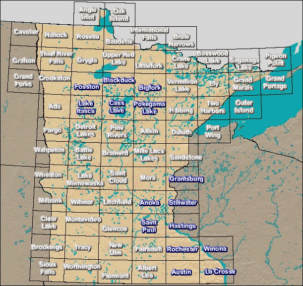
Minnesota GIS Data - Select a 100K tile.


http://umesc.usgs.gov/states/m/mn_gis_data.html
Last updated on October 25, 2000