
 |
Upper Mississippi River Restoration ProgramLong Term Resource Monitoring |
|
| |
||
Select a Reach - Reach 1 - Pool 12
 |
||||||||||||||||
 |
||||||||||||||||
 |
||||||||||||||||
 |
||||||||||||||||
 |
 |
|||||||||||||||
 |
||||||||||||||||
 |
||||||||||||||||
Aerial Photos - Pool 12 - Upper Mississippi River
|
24K
Quadrangle Name
|
1994
Color Infrared Photos
|
1997
Color Oblique Photos
|
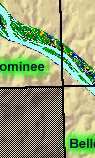
| Bellevue, IA/IL | ||
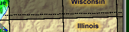
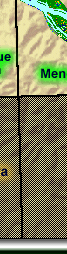
| Dubuque North, IA/IL/WI | ||
|
Dubuque South, IA/IL |
||
| Galena, IL/IA | ||
| Menominee, IL/IA |

Page Last Modified: May 7, 2018